The Lab
Experiments, prototypes, and tools I’ve built. Some for clients, some for fun, some to stay ahead of the curve.
Axis Spatial Tools
AI-powered tools built for Axis Spatial using Gemini Pro to help geospatial teams modernise.
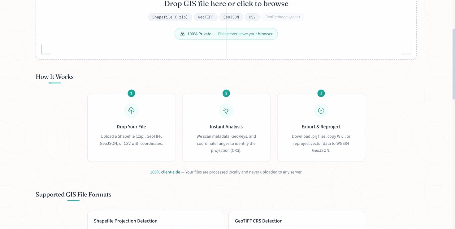
Projection Finder
Browser-only tool for detecting CRS/projections in GIS files. Supports Shapefiles, GeoTIFF, GeoJSON, and CSV.
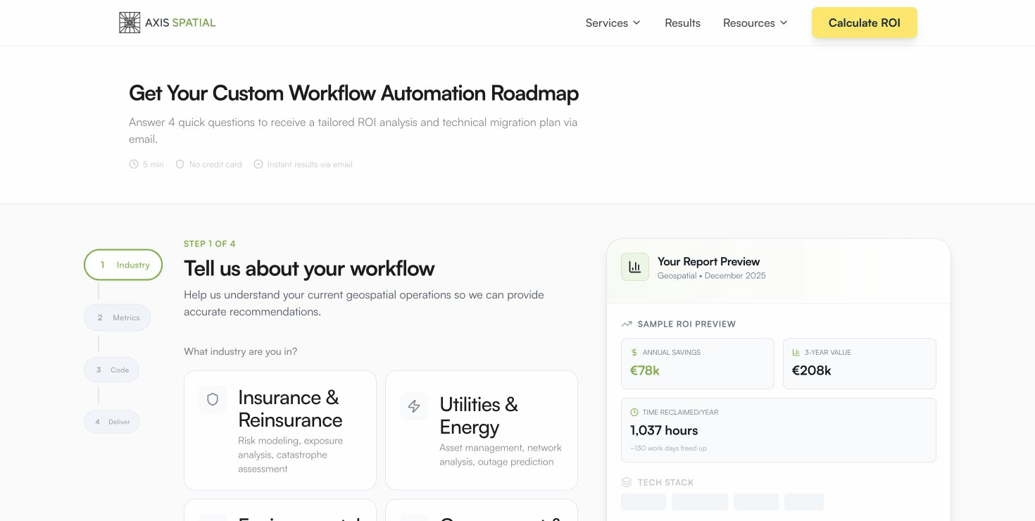
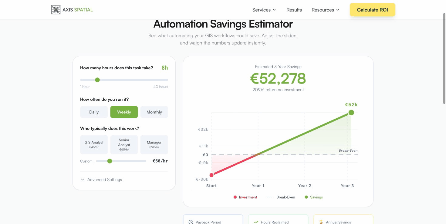
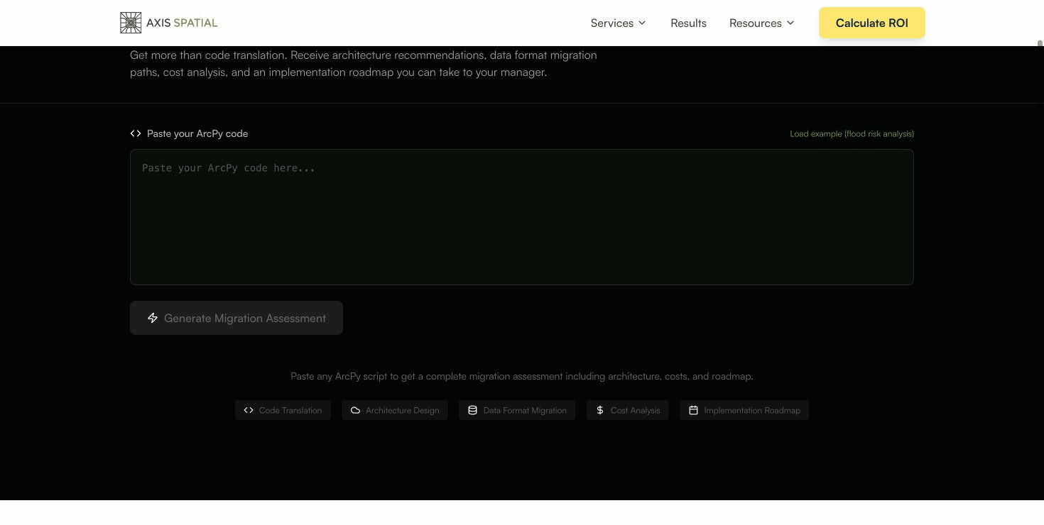
Workflow Assessment Tool
Describe your GIS workflows, get transformation recommendations.
Apps & Prototypes
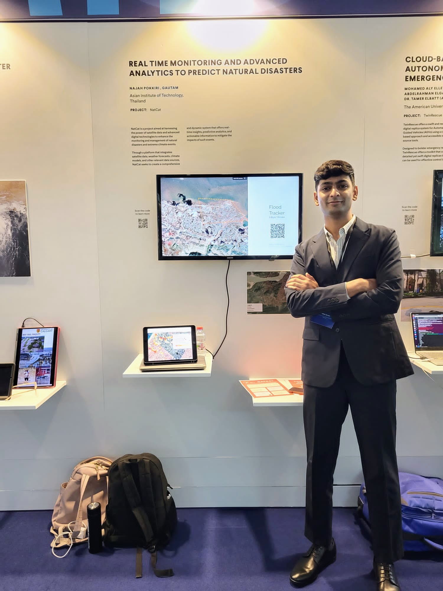
NatCat Prototype
Disaster response platform, from satellite acquisition to emergency delivery.
Recognition: Live Science “16 Tech Projects That Could Change the World”
Exhibition: Prototypes for Humanity 2024, Dubai
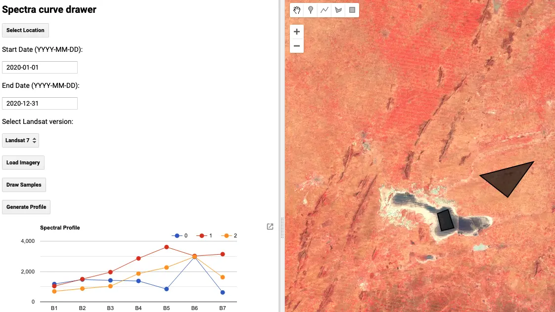
Compare Spectra Tool
Simple GEE app for quick spectral analysis. Select ROIs, compare spectra, export charts.
Tutorials

End-to-End Burned Area Prediction
Complete ML pipeline from STAC data discovery to prediction. Cloud-native geospatial stack (Planetary Computer, COG, PySTAC).
D3S Teaching Materials
Data science curriculum developed for Ashoka University. Excel to Python, geospatial analysis, election data.